Geohazard (Slope) Monitoring
The Wireless Geohazard Monitoring System is a cloud based geotechnical monitoring solution designed to continuously assess slope stability and detect potential ground movement in real time. The system provides a fully automated platform that integrates data from multiple sensors into a centralized dashboard, enabling early warning and effective risk management for landslide prone areas.
System Overview
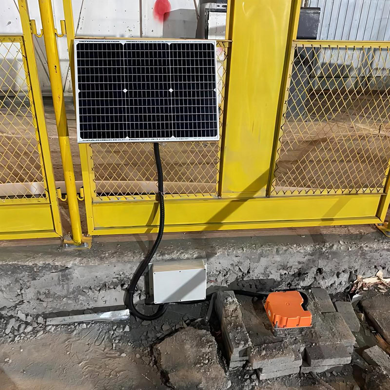
• Cloud Based Platform
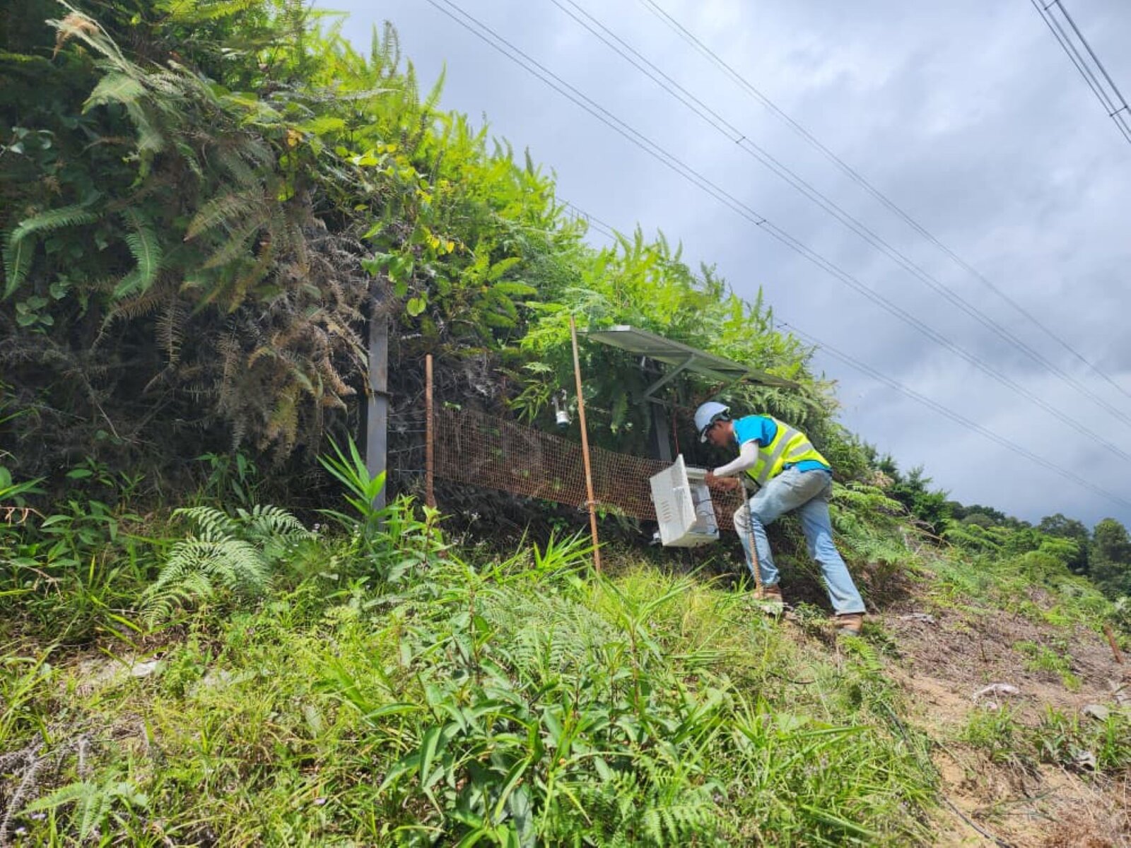
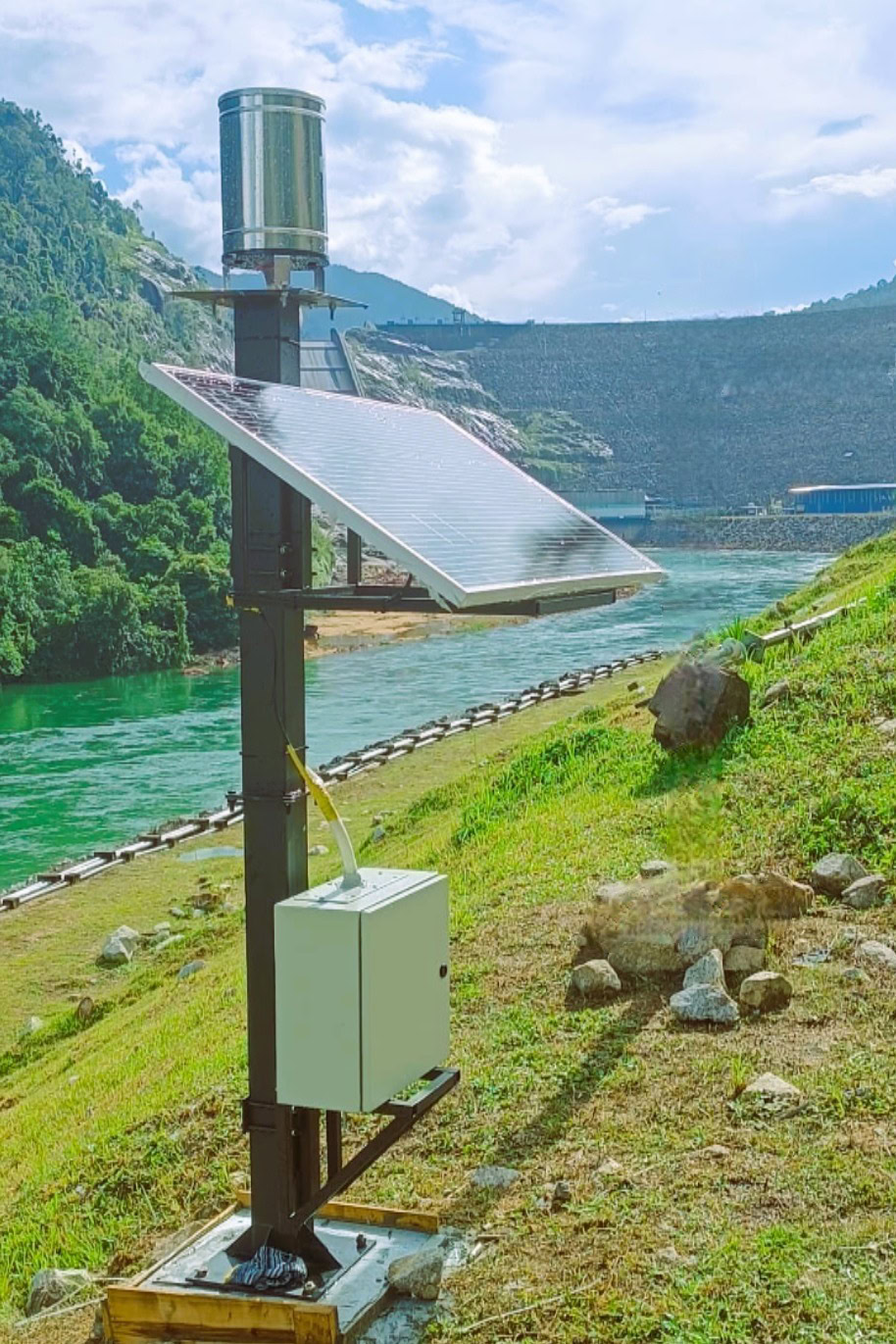
All sensors transmit data wirelessly to a secure cloud server via 4G communication, eliminating the need for manual data collection and ensuring continuous monitoring.
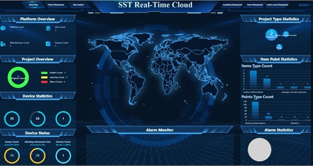
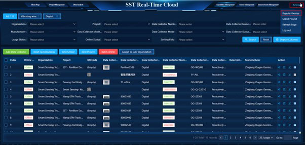
• Centralized Dashboard
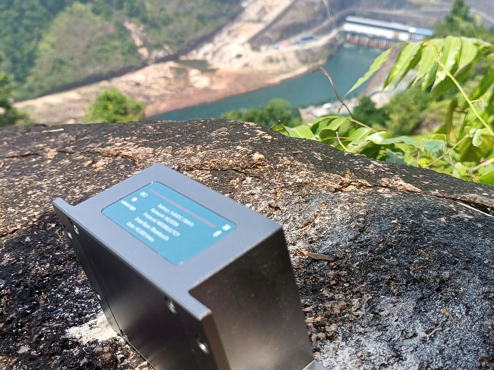
A user friendly web interface displays live data, historical trends, and predefined alarm thresholds, providing a complete overview of site conditions at all times.
• Real Time Alerts
Automated notifications via email and SMS are triggered when readings exceed safety limits, allowing for immediate response and timely decision making.
• Remote Access and Control
Engineers can monitor, analyse, and manage system settings remotely, improving operational efficiency and enhancing safety management.
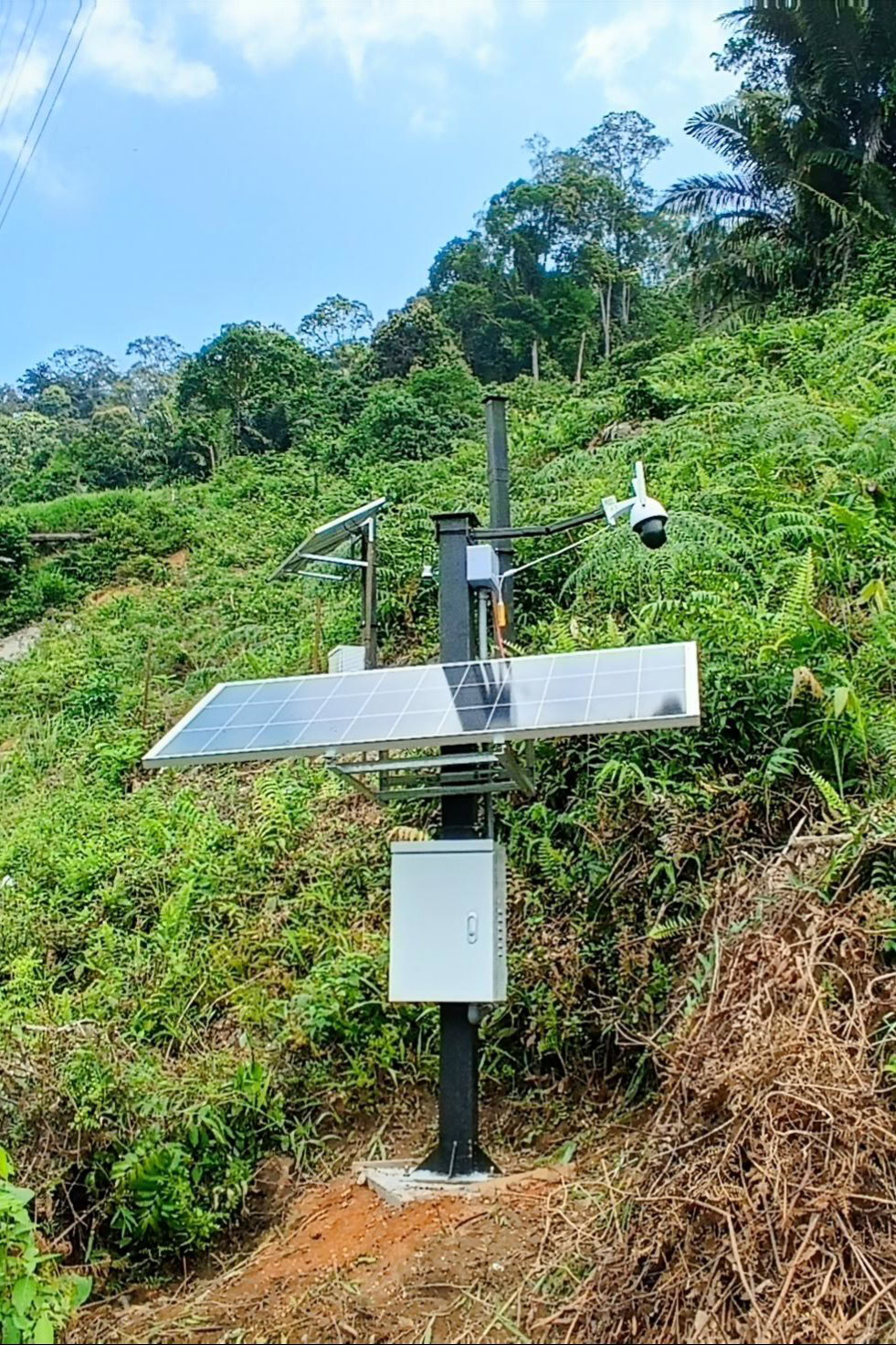
Available Sensor Types
The system supports a wide range of wireless and automated geotechnical and environmental sensors, including:
Automated Rain Gauge
Robotic Inclinometer
CCTV Camera
Wireless Tiltmeter
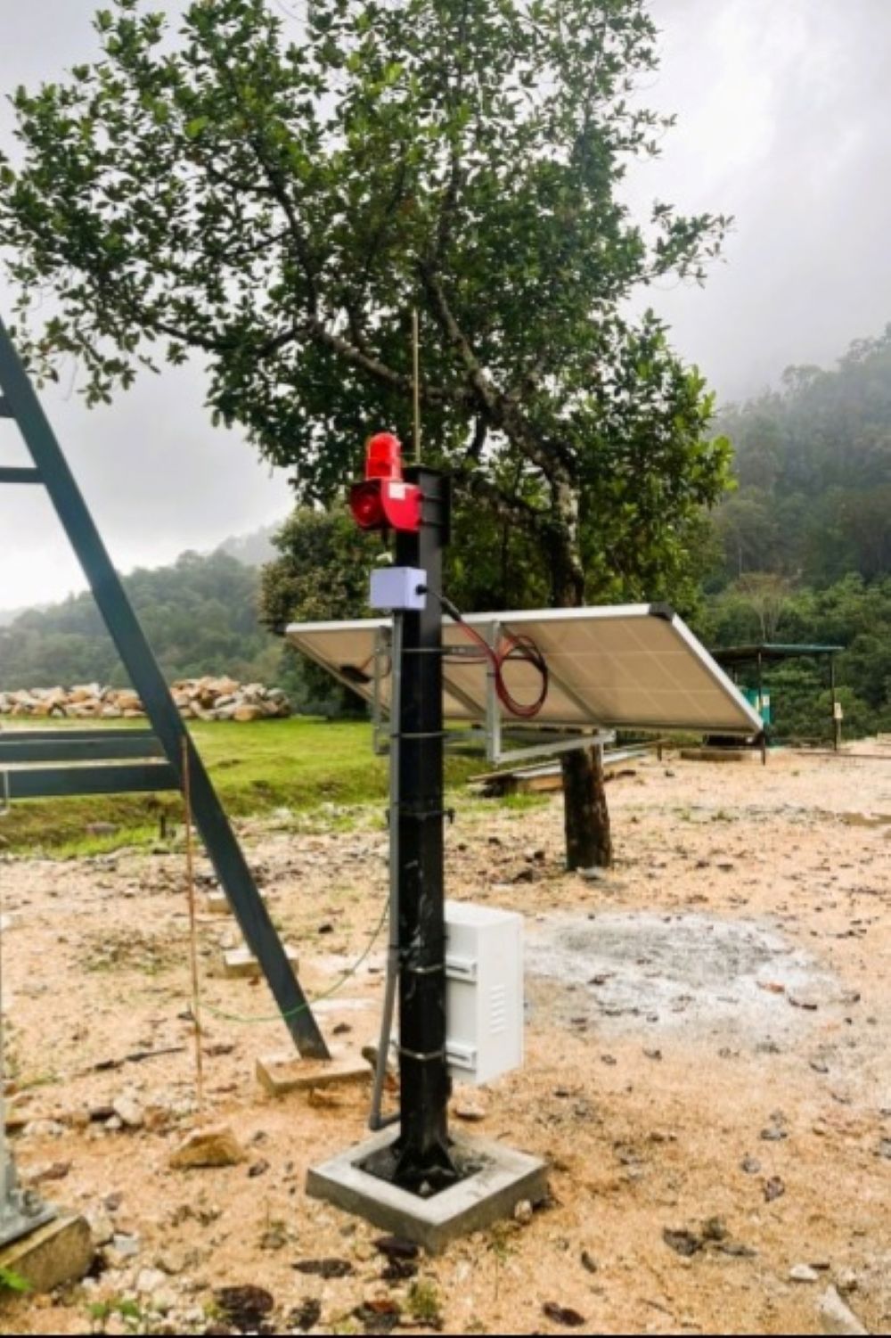
Siren Beacon
Debris Flow Level Gauge